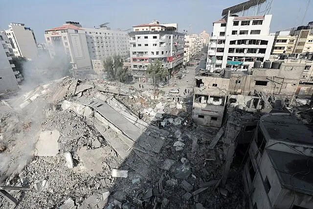
April 26, 2024 (EIRNS)—Researchers at Wuhan University, using satellite-based remote sensing technology, have issued the first detailed study of the destruction wreaked in Gaza by Israel’s “slash-and-burn” policy. “Comparative analysis shows that as of March 2, 2024, 58.4% of buildings and 34.1% of farmland in the Gaza Strip were damaged,” Li Deren, a professor of remote sensing at Wuhan University, told the China Space Conference on April 24.
Li said that before Nov. 10, 2023 some 18.7% of buildings in Gaza had been damaged. That increased to 32.6% by Nov. 29, and 56% by Jan. 22, 2024, before stabilizing at 58.4% by March. The Chinese researchers were also able to identify the location, size, and number of missile craters over time, detecting a total of 3,747 craters in the Gaza region by March 2, while Gaza City sustained twice the damage compared to Deir al Balah City, on the Strip’s central coast.


