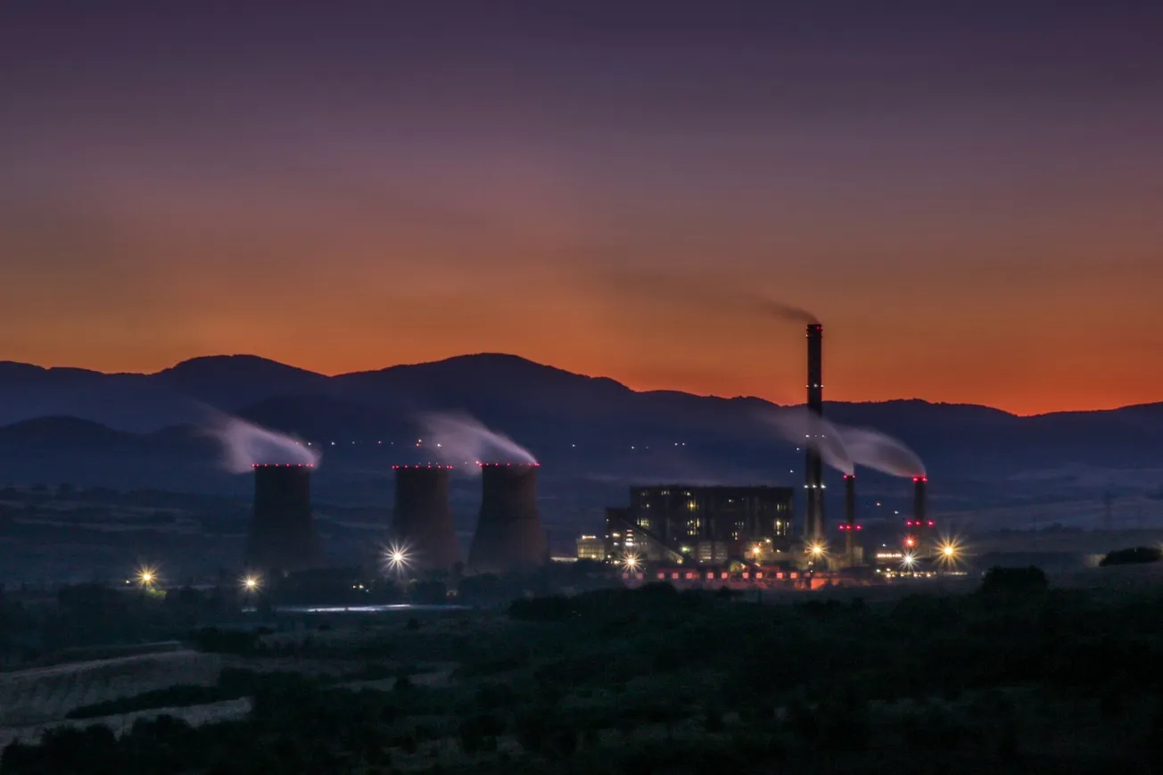
The lack of serious, well-built flood-control and water-management infrastructure in the Hill County of Texas, and especially on the Guadalupe River, is the predominant reason why heavy rains were able to turn into heavy floods. As of now, as a result of the July 4 flooding, 108 people are dead, and that number is expected to grow. Had the infrastructure been built, it is likely that more than 85% of those who died would now be alive.
Nearly all the deaths and damage occurred in the Guadalupe River Basin. The Guadalupe River begins its journey as a typical spring-fed river, flowing over the Edwards Plateau in Kerr County, Texas, which is in the south central part of the state. It flows east, and then southeast, travelling approximately 400 miles, until it reaches San Antonio Bay, at which point it empties into the Gulf of Mexico. The Guadalupe River Basin covers 6,060 square miles. The river descends 2,350 feet from source to end point.
The Guadalupe River is located in a part of Texas that is called “Flash Flood Alley,” a zone of land extending from Dallas to San Antonio. The Alley experiences intense bursts of significant rain, which on many occasions, though not always, are of short to medium duration.
To understand why, consider the geohydrological morphology of the land—not the Climate Change advocates, who are lying, even now, that the July 4 event was caused by too much atmospheric CO2, nor the supposed experts paraded on CBS News and Fox News.
Masses of moist air arrive in this region from the Gulf of Mexico. They mix with moist air from the Pacific Ocean—often as monsoonal moisture—and with cool air masses from the north. The convergence of these three air masses produces intense rainfall events.
Then consider the soil: The top layer of the soil is clay, which absorbs water slowly, and causes water to pool, and in considerable rain will facilitate the speed-up of rainwater flow.
The U.S. The Geological Survey reports that Guadalupe River streamflow records, dating back to the 1800s, show that major floods have occurred over nearly all sections of the Guadalupe River Basin for more than 200 years. The Guadalupe-Blanco River Authority, in cooperation with the Federal Emergency Management Agency, produced a 1999 report, “Staying Safe … A Guide for Flooding in the Guadalupe River Basin,” which asserts: “The Guadalupe River experienced major floods in 1936, 1952, 1972, 1978, 1987, 1991 and 1997,” as well as 1998. In the 1987 flood, 10 campers died when a bus and van attempting to evacuate them from a church camp were swept away by floodwaters. The incident occurred near Comfort, Texas, which is very near to Camp Mystic, the camp for girls where more than two dozen girls and counselors have died or are missing in the July 3-7, 2025 flood.
At some point, Americans have to admit that this is a permanent feature of the ongoing interaction of hydrological, hydrodynamic, and land formation forces that date back not just 200 years, but likely thousands of years, if there were proper investigation. If one is going to solve the problem, the fundamental problem must be addressed. It is not produced by global warming, or other passing lies and fairytales.
A group of Guadalupe River Basin community leaders and the U.S. Army Corps of Engineers joined together to force through Congressional approval for the Army Corps to build Canyon Dam, located on the river, which was completed in 1964. A rolled earth dam located in Kerr County, it performed its function decently during the recent heavy July rains. But as the river runs from west to east, any locality located upstream from—west of—the Canyon Dam, could not be protected by it. Most of the deaths occurred in that portion of Kerr County that is upstream from the dam—approximately 87 out of the 108 total deaths. This area has little competent flood-control infrastructure to protect its citizens. A geological survey should be made of that portion of Kerr County, Texas. It should then be decided what infrastructure should be built—medium-sized or small dams; levees; floodwalls; diversion channels; etc. The will should exist to build this.
The Wall Street-City of London-Libertarian budget-cutters and the environmentalists may join together to oppose it, but the construction of that infrastructure will save lives.